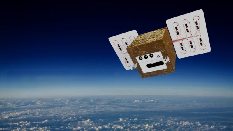
ZEBRIS Geo-IT GmbH is part of the DIEGOSat consortium—an association of leading research institutions and companies that combines scientific excellence with cutting-edge industrial expertise. Led by Ruhr University Bochum, the consortium pools expertise from research, development, and practice to make an innovative small satellite mission a reality.
The DIEGOSat satellite delivers highly accurate environmental and climate data in unprecedented detail. Its thermal infrared measurements enable particularly accurate detection of heat radiation from the Earth’s surface. Among other things, this allows drought stress in agricultural areas and forests to be identified, forest fires to be detected at an early stage, and their intensity to be quantified. Urban planning also benefits from the precise analysis of urban heat islands. In addition, weather forecasts are optimized through improved estimates of evaporation and the recording of important cloud properties. The energy transition, in turn, is supported by the observation of industrial waste heat and the high-resolution detection of industrial gas flares, in which excess natural gas is burned in the oil industry. With its innovative multispectral infrared sensor technology, the project sets standards in precision, sustainability, and international cooperation.
As a specialist in monitoring vegetation fires, peat fires, coal fires, and gas flares, ZEBRIS supports the specification of the satellite and develops methods for data evaluation. This is also based on the company’s own platform, firemaps.net. This technology enables the automated provision of high-quality satellite data products on the DIEGOSat web portal.
You can find out more about the project on the official website:
