EARTH OBSERVATION – GAINING AN OVERVIEW

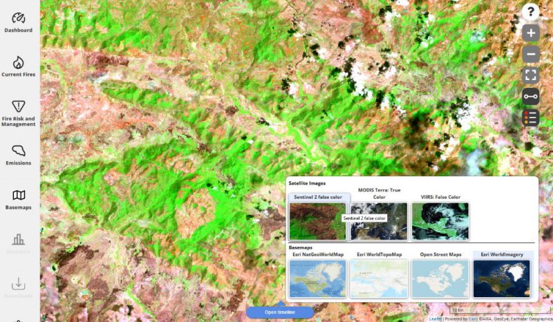
The availability of high quality remote sensing data has never been better. Open up new horizons for your applications – get the big picture, capture changes, see the details. Benefit from our expertise in the creation of processing chains. Use information in near-real time, e.g. with our firemaps processing framework. Make information available to your users quickly – on web, desktop and mobile, e.g. with the firemaps Publication Framework. 

PLANNING AND CONSULTING 

Analysis of the possible uses of earth observation data for your application, project planning, image acquisition. Working in an international context and in multidisciplinary teams is part of our routine, as well as concise presentation of requirements and results of earth observation projects. 

PROCESSING 

Development of processing methods and processing chains for your application, implementation of processing and quality assurance. Using the firemaps processing framework, we can quickly develop process chains tailored to your needs and analyse a large amount of data sets in a short time in our scalable cloud infrastructure. 

VALIDATION AND QUALITY ASSURANCE 

Over the years, we have developed a toolbox of validation methods that we use to ensure the quality of our data products. This includes field tests as well as the planning and implementation of sampling procedures and sensitivity estimations. 

DATA ANALYSIS AND STATISTICS 

Our firemaps processing framework provides numerous methods and tools to evaluate the results of an earth observation project and present them in attractive graphics. 

STAGE YOUR DATA PRODUCTS WITH OUR FIREMAPS PUBLICATION FRAMEWORK 

With the firemaps Publication Framework, processing results from the firemaps Processing Framework, but also your own data or results from your process chains can be provided as a WebGIS application, for download or on mobile apps. 

WebGIS Hosting

We are happy to host your earth observation data in a DSGVO-certified German data centerYou can set up and securely operate your own WebGIS using our firemaps Publication Framework – including secure user administration and multi-tenant capability. 

Reference Projects

Topic: Fire

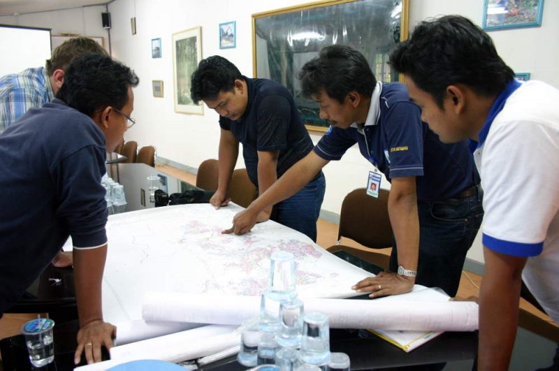
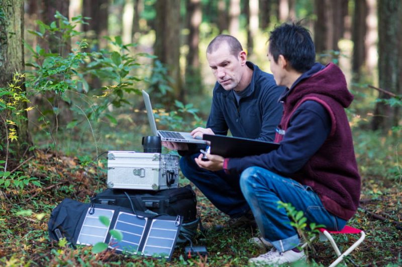
Short description: FireSense- Joint project for the development of methods to improve fire monitoring with the help of satellites, aircraft sensors and drones.

Location: Germany/Worldwide

Year: 2016-2020

Client: Federal Ministry of Economics – ZIM-Projekte

Status: running

More

Topic: fire

Short description: Estimation of emissions from industrial gas flares

Location: Worldwide

Year: 2013-2017

Client: Max Planck Institute for Chemistry

Status: completed

More

Your personal contact:

Gernot Rücker
+49-89-1893789-36