Landmanager WSG
WATER RESSOURCES AT STAKE
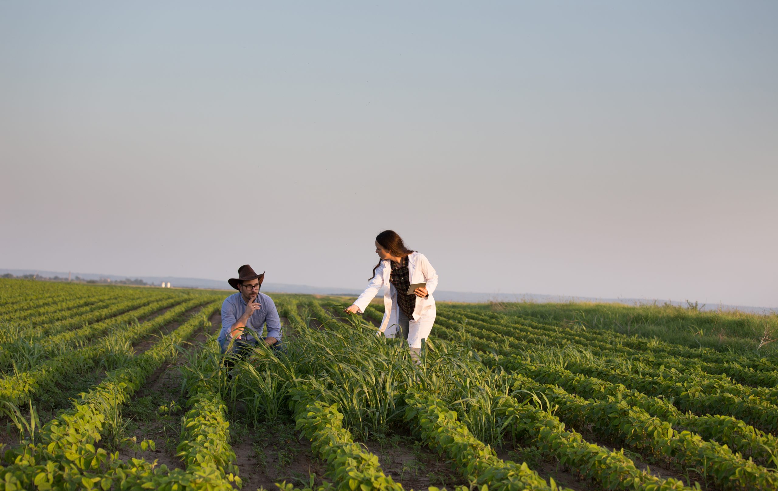
Alarming nitrate levels in drinking water, eutrophication of water bodies, increasing use of pesticides and herbicides with severe ecological consequences – despite stricter regulations, these issues are more pressing than ever. To protect our valuable water resources, more and more water suppliers are relying on privately or government-led co-operation schemes for drinking water protection. And they do so with great success!
LANDMANAGER IN ACTION
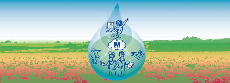
For more than 20 years, we have been supporting many water suppliers, consultants, authorities and farmers with our land management software LandManager WSG in successful management of agricultural cooperations and the management of water protection areas. The combination of desktop, web and mobile components offers scalable and innovative solutions to foster cooperation.
LAND MANAGER CORE FUNCTIONS
With LandManager we get you the details and overview you need! All data on agricultural land is subject to permanent spatial and temporal changes. You can import digital parcel and field data (from the Integrated Administration and Control System, IACS) directly into LandManager and edit them with a number of editing tools. Both current and past status can be viewed and managed. These land units serve as the basis for the management of all your data from your area management, such as properties, crop rotations, farmers, soil sampling, subsidies, compensation payments, controls, fertilisation plans or even nutrient balances. All geodata and tabular data are time-stamped, so you can build up a land use history in addition to getting an overview of the current situation and thus track changes and spot trends. The basic module LandManager Agriculture thus serves for the central maintenance of all tabular and geodata and is the basis for further modules, as well as our web-based and mobile components.
AVAILABLE VERSIONS
LANDMANAGER DESKTOP (STANDALONE)
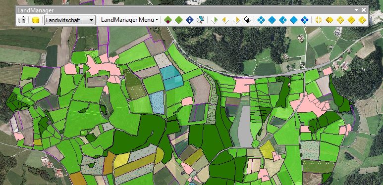
LandManager Desktop is the GIS expert system which helps you implement your management of cooperations in drinking water protection. All LandManager Desktop products can be installed as standalone solutions on your workstation or run on a centralized server. The GIS components of LandManager Desktop are based on ArcGIS Desktop from ESRI and can be activated as an extension in ArcMap. You can choose between LM Access and LM SQL Server versions.
LANDMANAGER WEB
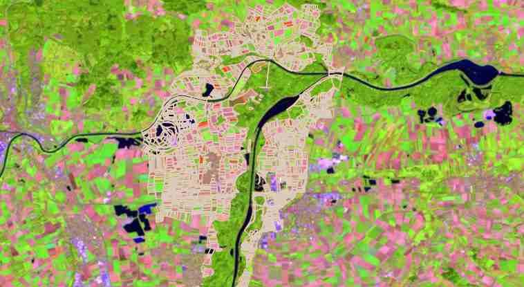
LM Web is an easy to use WebGIS for all actors of your cooperation (farmers, consultants, employees of the water supply company, etc.) Apart from being a detailed information, monitoring and evaluation system complete with maps and reports, LM Web offers you many tools where farmers or consultants can enter new information on fields, planned crops, subsidies or even fertilizers and pesticides applied. Through upload interfaces recommendations for fertilizer application can be made available directly to the farmers. Multi-layered evaluations in map and report form allow you and the farmers in the cooperation an exact insight and overview of crop rotations, soil parameters and nutrient balances.
LANDMANAGER MOBIL

LM Mobil provides farmers and water suppliers with mobile data entry directly in the field. Using the app for farmers, all current field data complete with fertilisation recommendations can be downloaded to a mobile device. Information on fertilizer or pestizides can directly be entered in the field. Android and iOS devices are supported. All data can also be recorded offline and synced back to the central LandManager database when network coverage is available.
LANDMANAGER SAAS
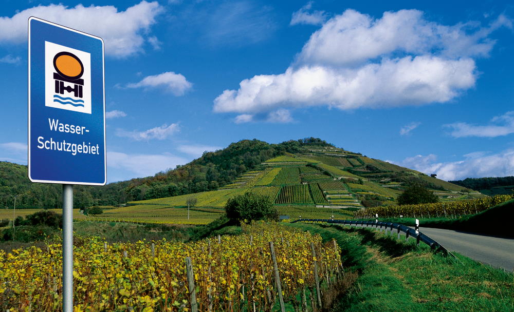
We offer you to take over the hosting of your data as well as the provision and maintenance of your action areas as a Software as a Service – service. The LM Web application and the LandManager data will be provided in a secure and certified data centre and you and all desired actors will receive individual access to the data and functions with LM Web and LM Mobil. You do not have to get used to complex applications, save license and administration costs and concentrate on the core of your tasks. Talk to us about it!
OTHER LAND MANAGER MODULES
NUTRIENT BALANCE SHEET AND FERTILISATION
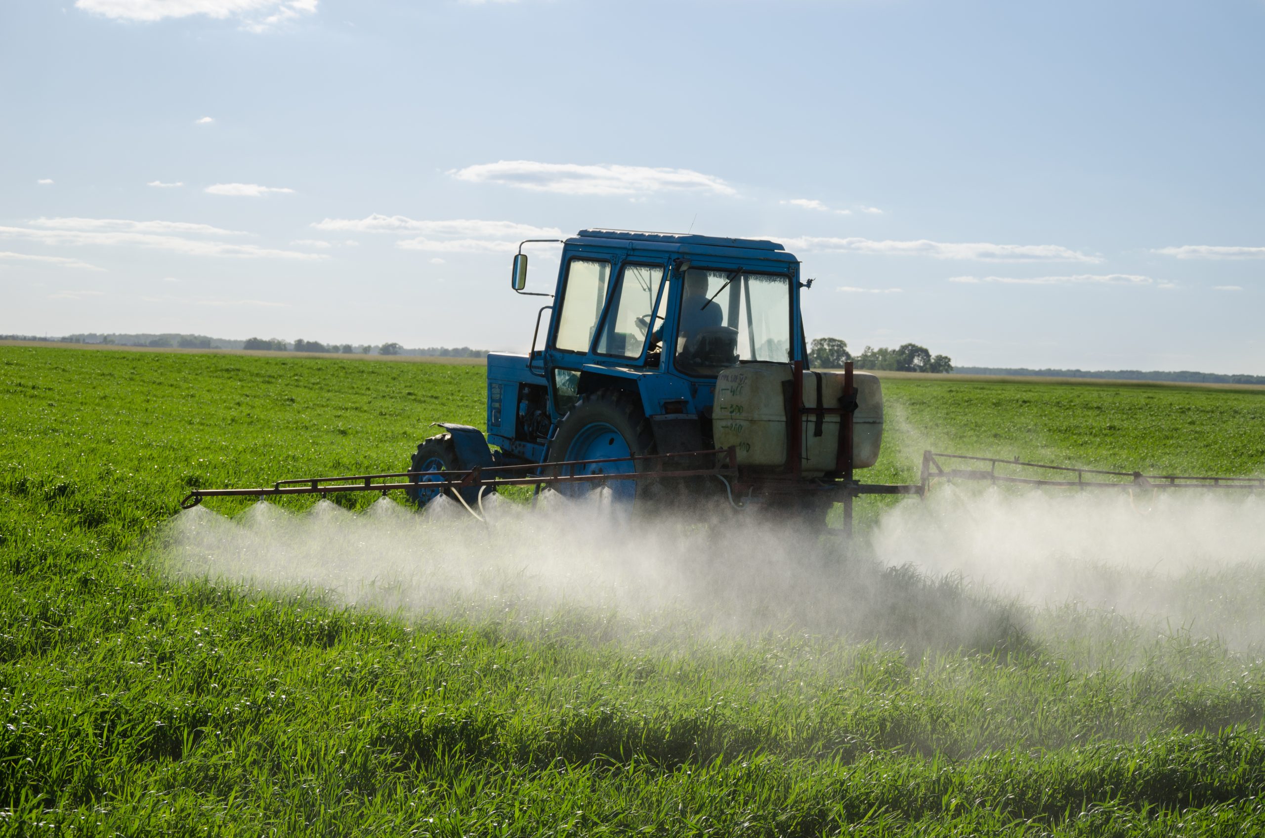
The module Nutrient Balance and Fertilisation is an extension to core LandManager Agriculture module. The focus is on the calculation of exact nutrient balances at field level (field balances). Necessary inputs (organic/mineral fertilizers, withdrawals through harvest) can be imported individually with the respective supply and removal values of the individual nutrients and thus also be made available to farmers in LM Web and LM Mobil. Plant protection products can also be integrated into this module. In addition, you can create fertilisation recommendations and farm-related yard gate and field/stall balance sheets.
ACCIDENTS AND INFRINGEMENTS
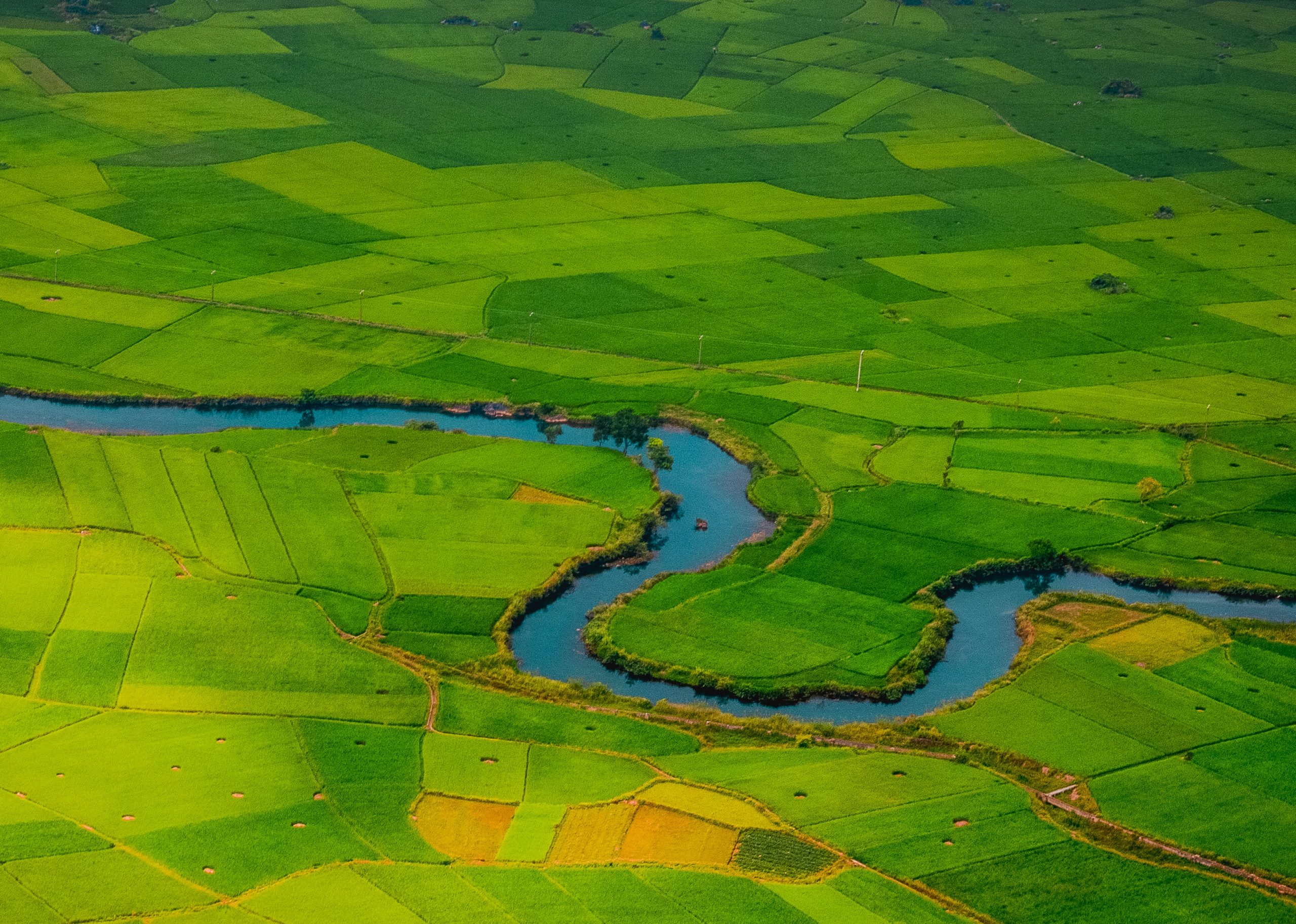
The Accidents and Infringements module offers you the opportunity to use specific forms to record accidents or infringements in your water protection area, create records on the necessary actions and coordinate their implementation to comply with reporting obligations. The module can be customized to meet your individual.
SETTLEMENTS AND URBAN AREAS
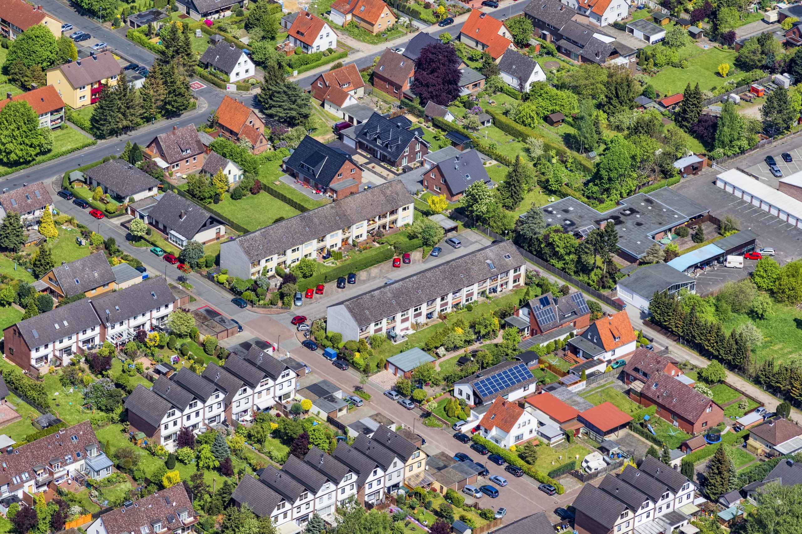
With the Settlements and Urban Areas module you can manage populated areas, roads and water bodies in your area of activity, e.g.:
-document maintenance obligations, leases, hydraulic engineering measures and accidents in water bodies.
-coordinate traffic safety obligations, construction measures and accidents on roads and streets.
-Control and record measures for the storage of water-polluting substances, e.g. inspections of petrol tanks, canal surveys, accidents on settlement areas.
FORESTS
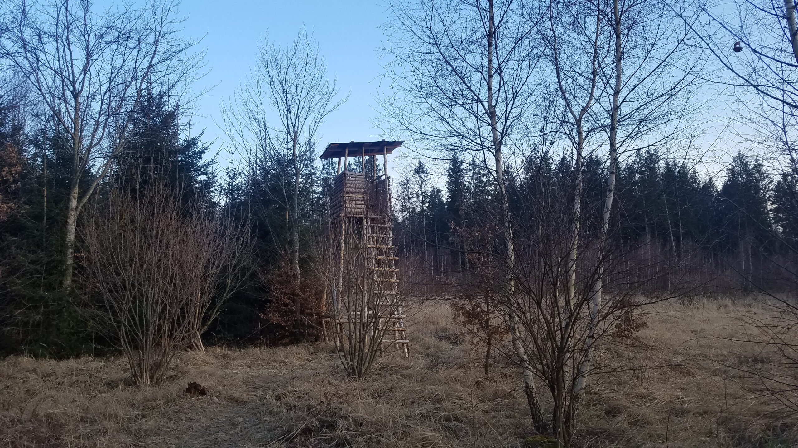
With the Forests module you can manage forest areas in water protection.
Based on parcels, forest stands and stocks, the Forest module offers the possibility to record all necessary information at the stand level. This includes information on the stand such as tree species, species mixture, degree of crown closure, forest functions, etc. You can also record incidents (windthrow, bark beetle attacks etc.) and create and coordinate forest measures.
Reference Projects
Topic: Water
Short description: In order to protect the Obersauer Talsperre from pollutants, a new information system for drinking water protection is being developed with SEBES on the basis of LandManager.
Location: Luxembourg
Year: since 2017
Client: SEBES
Status: running
MoreTopic: Wasser
Short description: N-Ergie is a pioneer in the implementation of agricultural cooperations in Bavaria and one of the first users and active co-designers of LandManager. Together with N-Ergie ZEBRIS develops a new web application for farmers.
Location: Nuremberg
Year: Since 2001
Client: N-Ergie Nuremberg
Status: running
MoreSOME OF OUR CUSTOMERS
Your personal contact:

