LAND MANAGER LP
LANDSCAPE CONSERVATION MEANS COMPLEX LAND MANAGEMENT
Almost all tasks in landscape management or nature conservation in general have a direct spatial reference. During implementation, data from many different areas must be related to one another. For example, real estate data, inventory mapping, planning data, intervention and compensation areas, planning of measures, contract modalities and many other topics often have to be coordinated with each other both currently and historically.
LandManager LP has been designed exactly for these questions and stands for a completely new combination of spatial and factual data. No matter if you want to plan and implement surveys of use, purchase, lease or compensation payments, area evaluations, property tasks, owner and manager data or even measures and interventions: LandManager LP is the tool of choice for your daily tasks.
LAND MANAGER LP CORE FUNCTIONS
In LandManager LP you can create any number of surface levels (layers) such as parcels, stocks, action/planning areas, manage them with a sharp focus on the surface and provide them with attribute data. All created area layers “know” each other with their exact area shares. This allows you to combine any information from different levels and evaluate it in relation to the other area levels. For example, measures can be planned and implemented and at the same time the corresponding parcels or eco-account areas can be evaluated with their respective proportions. Detailed calculations of intervention and compensation points according to the compensation regulations are also possible. In LandManager LP all factual and spatial data have a direct time reference. On the same user interface you can edit and evaluate actual conditions and past time
periods, display time series, track and document developments or integrate future planning into your land management.
AREAS OF APPLICATION
UMWELT- UND NATURSCHUTZ
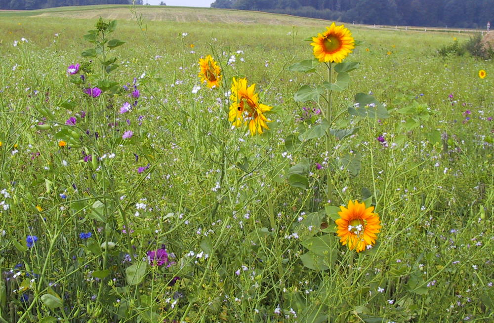
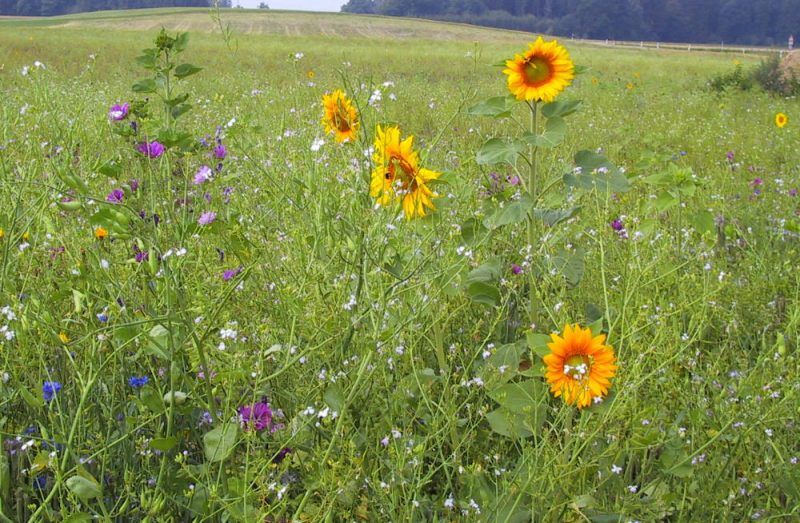
LandManager LP is ideally suited for all questions of environmental and nature conservation, especially for the planning, implementation and efficiency control of nature conservation measures for which a spatial/temporal overlap of different area levels is required. This applies, for example, to the organisation of maintenance measures, mapping and updating of stocks, processing of compensation payments from contractual nature conservation, management of compensation areas, planning of intervention areas and their consequences, implementation of the Water Framework Directive in groundwater and flood protection, management of green spaces in urban and municipal areas and much more.
Due to the open structure and the free creation of area levels, LandManager LP can be used to map individual projects and daily administrative processes and planning in a current and historically traceable manner. You always have a holistic overview of your action and administration areas and can react immediately. Also other environmental and administrative departments can access data and methods of LandManager LP if required.
RIGHTS OF WAY AND ROUTE PLANNING
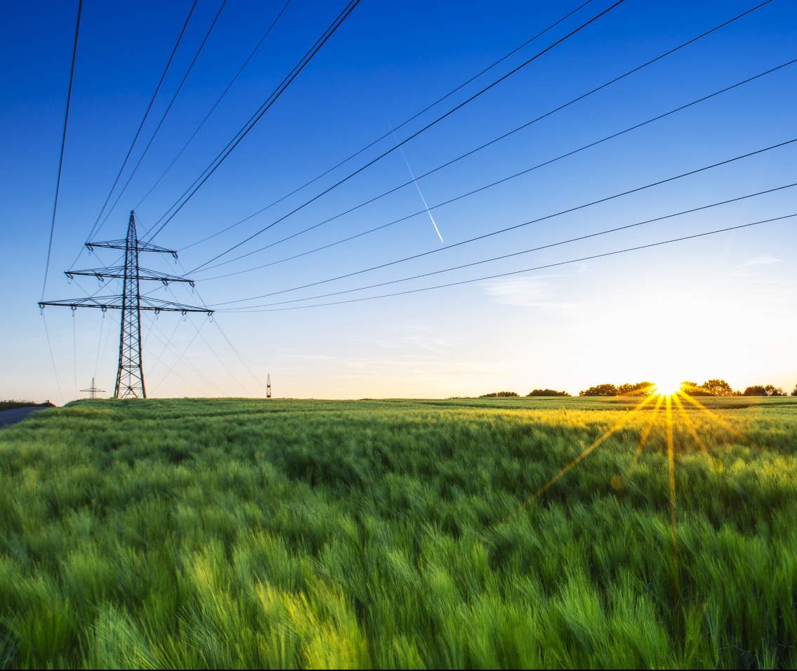
LandManager LP is the ideal tool for the GIS-supported implementation of rights of way, for example on pipeline routes. So if you want to manage a wide range of measures, easements, uses, owners, managers, compensation payments, contracts, controls or even planning on areas under power lines or over pipelines, water/waste water pipes or other lines and cables, LandManager LP offers you completely new possibilities.
OPEN CAST MINING / MINING OF RAW MATERIALS
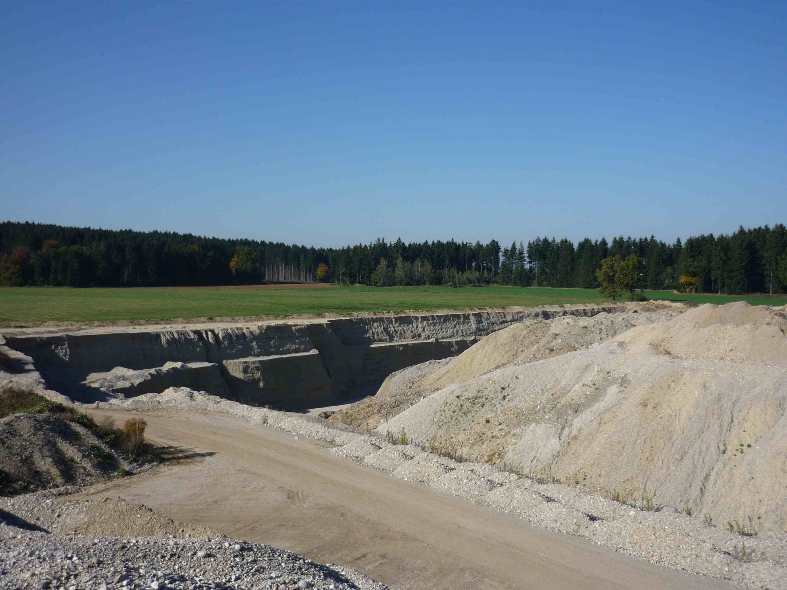
LandManager LP is the ideal tool for the GIS-supported management of all areas in open-cast mining or other interventions in existing landscape structures. With LandManager LP you can plan and manage your interventions exactly and also document e.g. the temporal course of the mining operations. At the same time you can manage all affected parcels and existing areas with owners, managers, measures, compensation payments and other data.
STADT- UND KOMMUNALPLANUNG
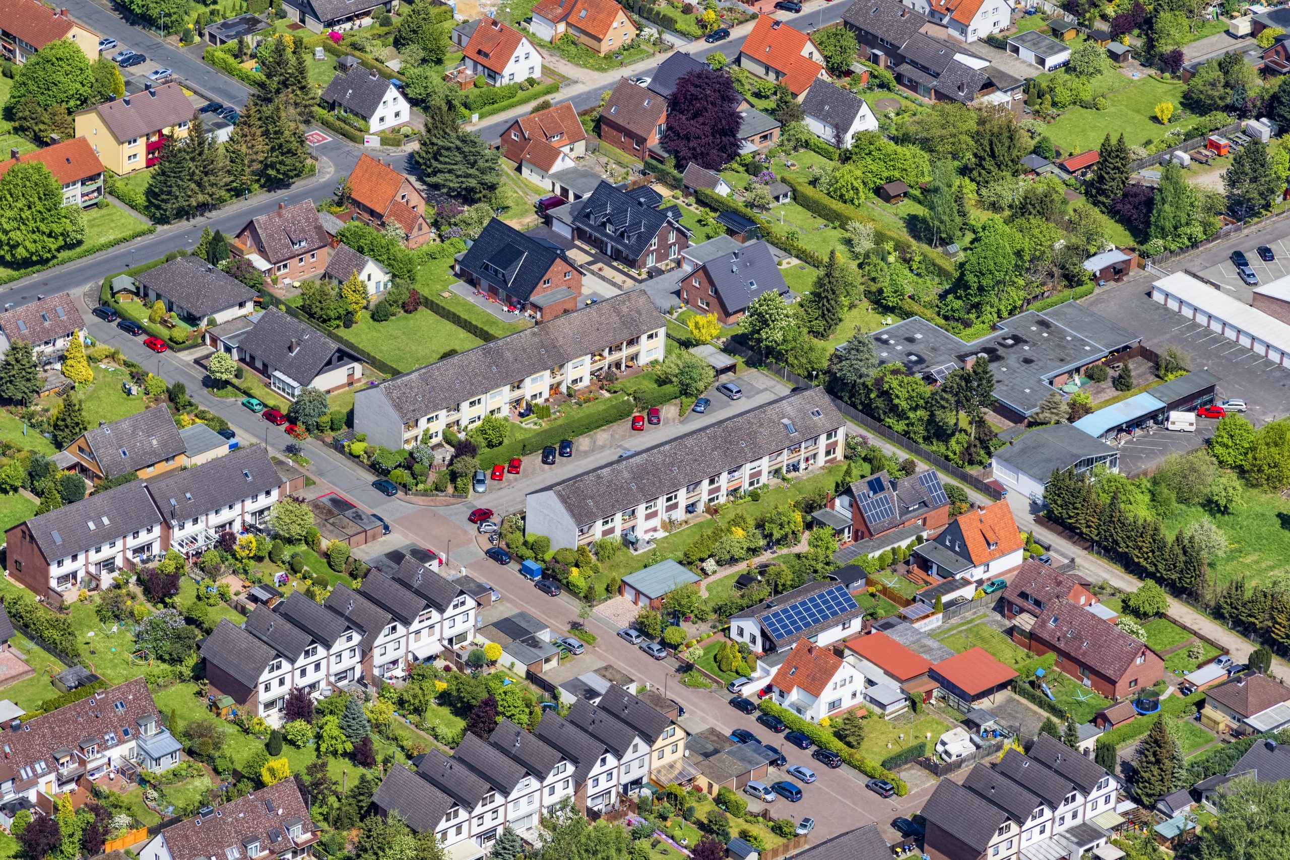
LandManagerLP is ideally suited for all area-related questions in urban and municipal planning for which a spatio-temporal overlapping of different area levels is required. This applies, for example, to the management of green spaces in urban areas, to the organisation of maintenance and construction measures, to the mapping and updating of land use or the processing of compensation and lease payments, to the management of compensation and eco-account areas, to the planning of interventions, to contact management with owners and managers, to property management with purchase transactions, to urban land use planning and much more.
RIVER BASIN MANAGEMENT
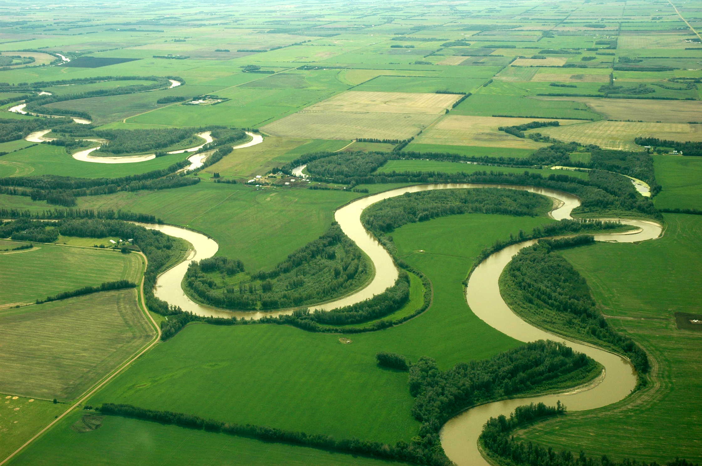
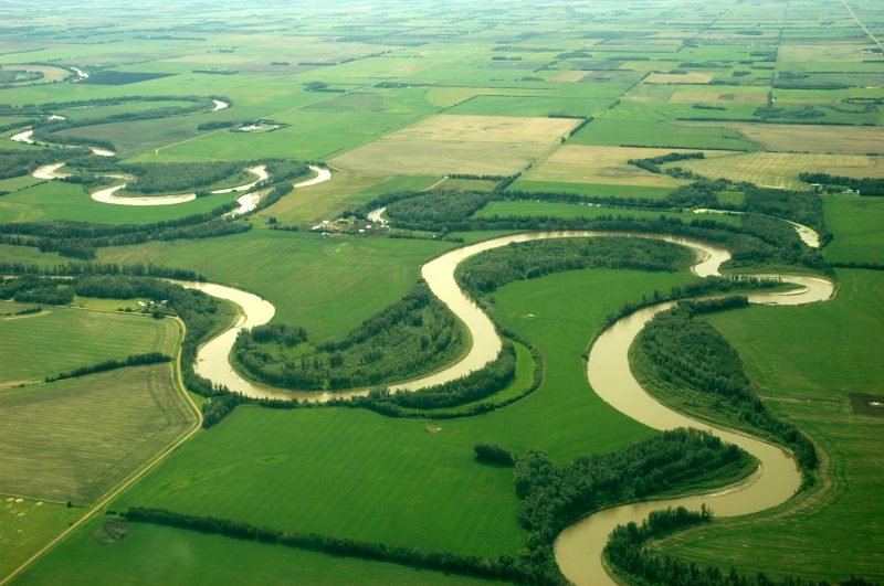
A detailed management of all areas along running waters is a central prerequisite for meeting the diverse tasks and requirements. The planning and execution of measures for preventive flood protection, the implementation and follow-up of water management and nature conservation objectives, the definition, complaint and organisation of the land requirements for the development of running waters or the handling of compensation and impact mitigation: LandManagerLP enables you to carry out your complex planning and daily work in a simple and clear way.
SOME OF OUR USERS
Your personal contact:

