
Geo informatics and spatial data analysis
Geo-IT: Information about the world we live in
Geographic information helps us to better understand the world we live in. Every day, billions of spatial data sets are created; every business process has a spatial component. We support you in creating, expanding and maintaining your specific treasure trove of spatial data. Our services include data analysis and processing, development of information systems (cloud, web, mobile, desktop…), analysis of business processes, data acquisition and much more.


Reference Projects
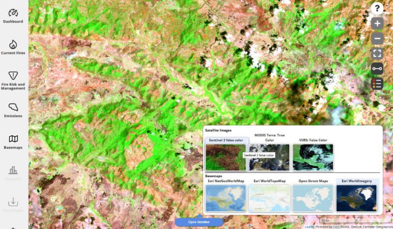
Topic: Fire
Short description: FireSense- Joint project for the development of methods to improve fire monitoring with the help of satellites, aircraft sensors and drones.
Location: Germany/Worldwide
Year: 2016-2020
Client: Federal Ministry of Economics – ZIM-Projekte
Status: running
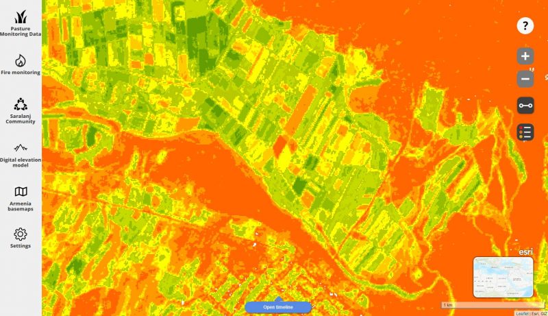
MoreTopic: Water
Short description: In order to protect the Obersauer Talsperre from pollutants, a new information system for drinking water protection is being developed with SEBES on the basis of LandManager.
Location: Luxembourg
Year: since 2017
Client: SEBES
Status: running
MoreYour personal contact:
