FireSense – Methods for fire monitoring

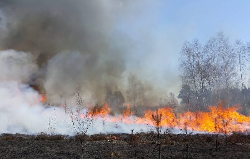
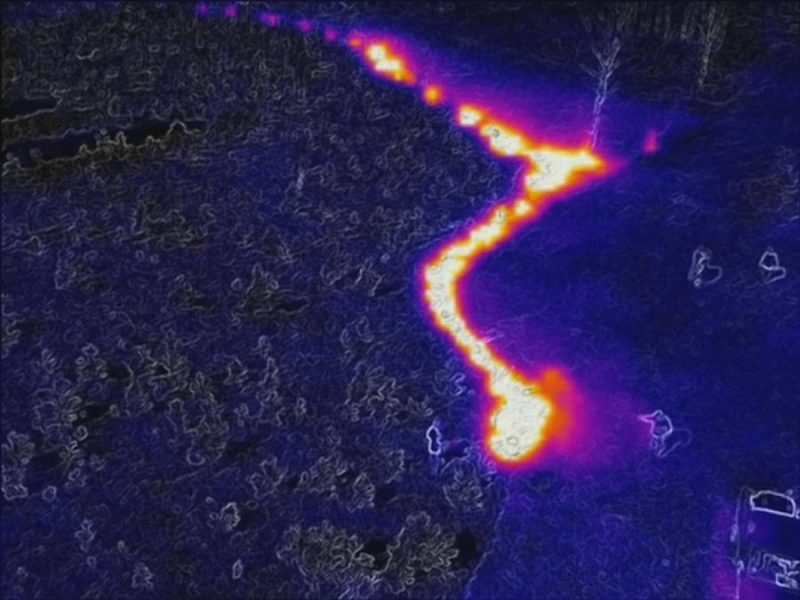
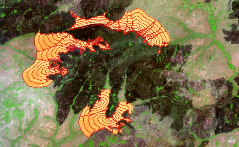
A fire monitoring system based on remote sensing is being developed to better estimate the gas and aerosol emissions of vegetation and peat fires and to support targeted firefighting. Within the research and development project FireSense new and improved information products for the characterisation of vegetation fires and for the derivation of trace gas and aerosol emissions from infrared observations of fires and mapping of the burnt area are developed. Satellites and airplane/helicopter and drone based sensors are deployed to develop and validate the new products 
The outcome of the product development is a fire information system to support environmental authorities, protected area managers and fire brigades. 

The challenge 

Emissions from fires are currently estimated to account for up to 30% of global greenhouse gas emissions from industrial sources. The annual direct and indirect costs of forest and vegetation fires amount to billions. These include costs of fire-fighting and damage by fires as well as air pollution and the resulting health hazard to the population in the affected areas. Emissions from fires in tropical forests account for a large share of national greenhouse gas balances and are therefore important for the international climate mitigation agreements and carbon trading. 

Approach 

A dedicated and efficient fire monitoring system based on remote sensing is developed to estimate the emissions of vegetation and peat fires and to combat fires efficiently. Users of such a system include climate mitigation and adaptation projects, environmental authorities, protected area managers and fire brigades. The methods developed will improve the estimation of pollutant emissions. Furthermore, fire behaviour is predicted in models to improve planning of fire suppression or controlled burns. 

Results 

In FireSense, satellite-based methods for estimating pollutant emissions from fires have been improved. A model for predicting fire behaviour was coupled with earth observation data and weather data. The results are made available to users via firemaps.net, our online platform for fire monitoring. 

A fire experiment for simultaneous observation of controlled fires by sensors on the ground, on drones and satellites served to improve the input data for emission and fire modelling. 


Further Information

Financing and project partners

FireSense is funded by the Federal Ministry of Economics within the framework of the central innovation program for medium-sized businesses (ZIM) 

Other project partners: 

  • DLR 
  • King’s College Londen 
  • Max Planck Institute for Chemistry 
  • Remote Sensing Solutions GmbH 

Your personal contact:

Gernot Rücker
+49-89-1893789-36