GEO IT FOR PLANET EARTH
We are 7.8 billion. We are facing great challenges. Clean water. Clean air. Climate protection. Healthy forests. ZEBRIS supports a sustainable management of the valuable natural resources of Planet Earth through state-of-the-art geo-information technology.
OUR SOLUTIONS FOR YOUR Challenges
WATER PROTECTION – AGRICULTURE
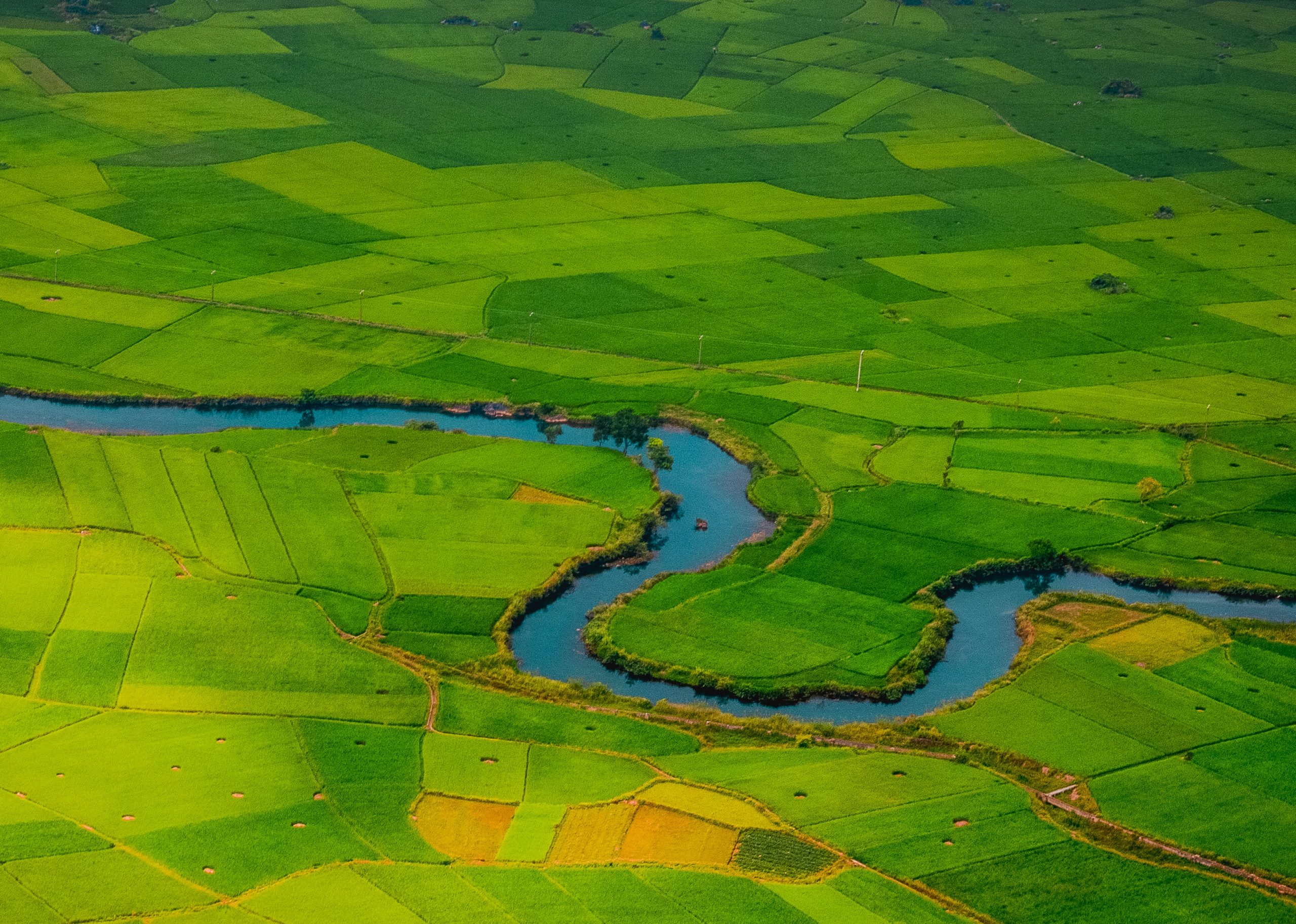
Do you want to better protect your drinking water or water bodies, are you planning to set up cooperation programs with farmers or are you generally looking for detailed management of your water protection areas? With LandManager WSG we offer you the ideal software application and support you with our services in your projects.
See moreWATER FRAMEWORK DIRECTIVE – NITRATE DIRECTIVE
Are you an actor in the Water Framework and Nitrates Directives and are you responsible for measures to convert polluted groundwater bodies and water bodies to a good status? The new platform for clean water LandManager WFD offers you completely new possibilities for cooperation projects with famers and implementing water protection measures!
See moreNATURE CONSERVATION – LAND MANAGEMENT
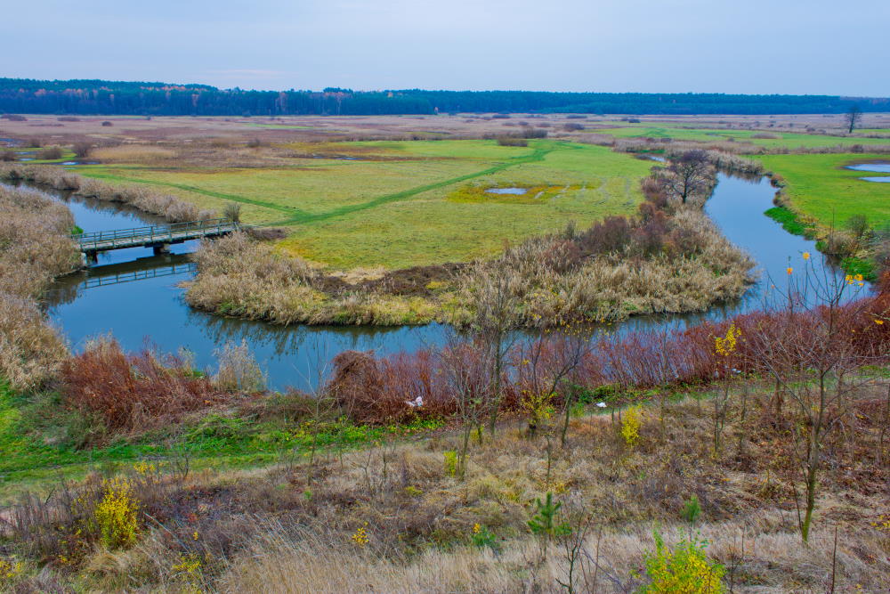
Do you work in nature conservation and landscape management projects? Do you have to manage property data, plan and implement a wide variety of measures, coordinate intervention and compensation areas? With LandManager LP we offer you a comprehensive software solution for these complex requirements!
See moreEARTH OBSERVATION
The availability of high quality remote sensing data has never been better. Open up new horizons for your applications – get the big picture, capture changes, see the details. Benefit from our expertise in the creation of processing chains. Use information in near-real time, e.g. with our firemaps Processing and Publication Framework.
See more
GEOINFORMATION TECHNOLOGY
We are professionals in developing applications to solve complex challenges: for Web GIS, desktop GIS, mobile GIS or cloud computing. Leverage our expertise in developing processing chains for analysis of big spatial data. Our services range from the requirements analyis and application design to the implementation and operation of (geo) IT systems as a full-service solution.
See moreFIRE MONITORING AND MANAGEMENT
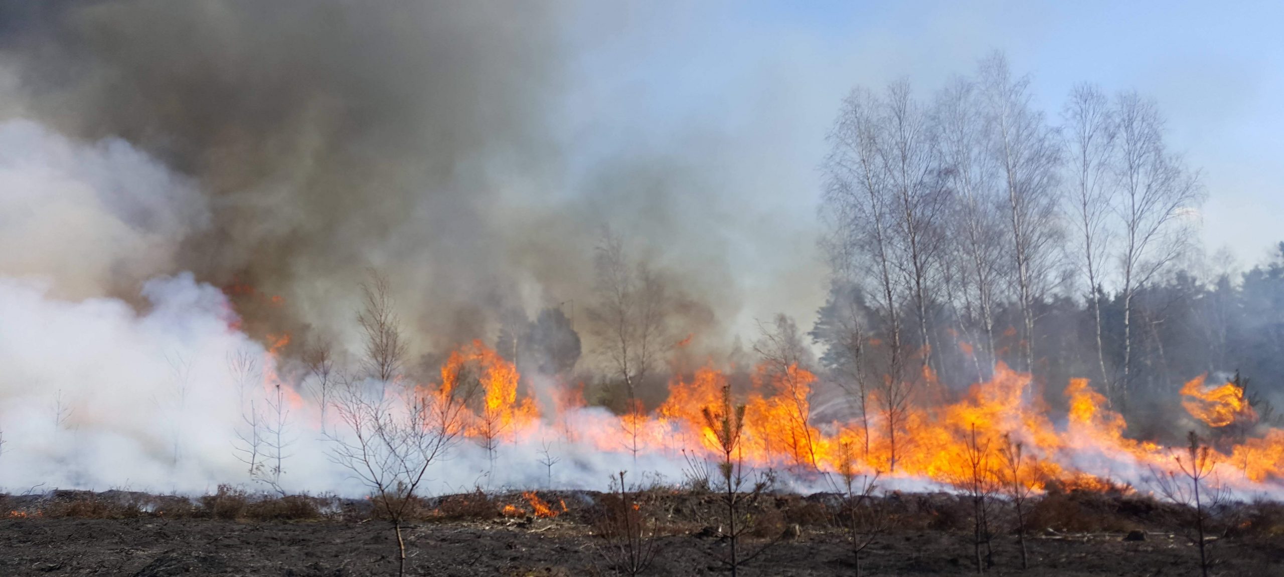
Are you looking for information on fire monitoring and fire management, e.g. as manager of a national park or a forest plantation? Firemaps.net offers you a wide range of services, e.g. burned monitoring, fire modeling, fire emission monitoring, fire risk analysis, documentation and tracking of fire management activities.
See more
