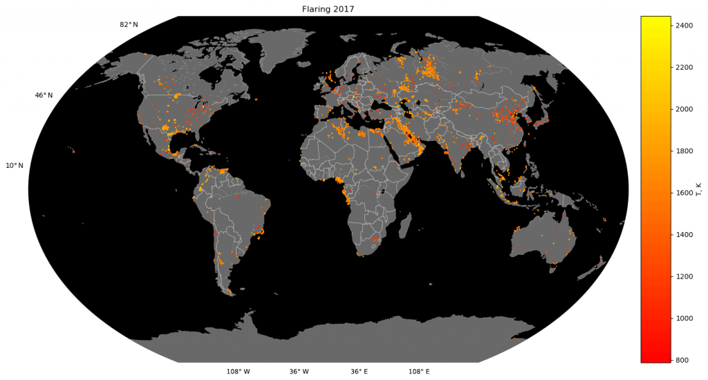
We have estimated the global sooth emissions from industrial gass flares in cooperation with the Max-Planck-Institute for Chemistry
Burning excess natural gas through gas flares is common practice In the oil and gas industry. These flares are a regionally and globally significant source of air pollutants. With the help of infrared satellites, gas flares can be detected from space and emission rates estimated. In cooperation with the Max Planck Institute for Chemistry, we have developed methods for detecting the flares and estimating soot emissions. In this recent publication we describe the methodology and results of the global estimate for the year 2017 using the Sentinel 3 satellite operated by the European Union within the Copernicus program. The processing of the approximately 90,000 satellite images was performed on the cloud infrastructure of ZEBRIS with the help of the firemaps.net processing framework. The data presented can be used e.g. in atmospheric dispersion simulations. The advantage of using our algorithm with Sentinel-3 data is the ability to detect and quantify very small flares, the long-term data availability from the Copernicus program, and the increased detection capability for global gas flare monitoring in combination with other satellite sensors. The article has been published in the journal Earth Systems Science Data. Data and article are publicly available.
