Summary

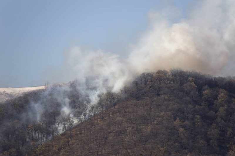
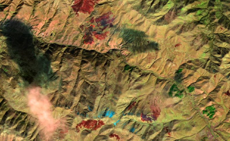
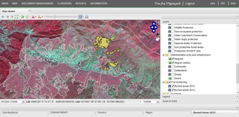
For the first nationwide survey of the extent of landscape fires (fire in forests, pasture and agricultural land) in Armenia, burnt areas were mapped with the help of satellite images. The data were integrated into the national forest information system. A training of local experts enabled the continuous monitoring of the burnt areas. 

Landscape fires in Armenia 

Forests play a key role in protecting ecosystems and biodiversity. In Armenia, landscape fires are usually associated with agriculture and grazing, but can also spread to forests. Little is known about the extent of the fires and their effects. Therefore, nationwide monitoring based on objective data is important to ensure sustainable forest and pasture management in Armenia. 

Solution approach 

To better understand these dynamics, nationwide data sets from the Landsat 8 satellite were downloaded and a semi-automated processing procedure was developed.

The data were fed into the National Forest Information System. 

Documentation material and training of the experts in the national competent authority allow continuous monitoring. 


Advantages 

Advantages 

These goals were achieved by mapping the fire areas: 

  • Fire areas recorded nationwide for two years. 
  • statistics for burnt areas are compiled and made available to the competent authorities. 
  • Provision of data in the National Forest Information System. 
  • Continuous monitoring by local authorities enabled. 


Additional information

Customer/Partner

Gesellschaft fürInternationale Zusammenarbeit (GIZ)

Ministerium für Landwirtschaft, Armenien

Ministerium für territoriale Verwaltung, Armenien


Information material

Your personal contact:

Gernot Rücker
+49-89-1893789-36